Topographic, Hydrographic and SUE Survey at Avondale Shipyard, Jefferson Parish, LA
EMC performed a detailed topographic and hydrographic survey at the Avondale Shipyard between Bridge City and Avondale, LA, along the Mississippi River levee. In addition, EMC was tasked to collect all utilities, abandoned and active, to be used during the preparation of plans and specifications for flood protection measures. This complex survey project was successfully completed using an array of surveying techniques and technologies.
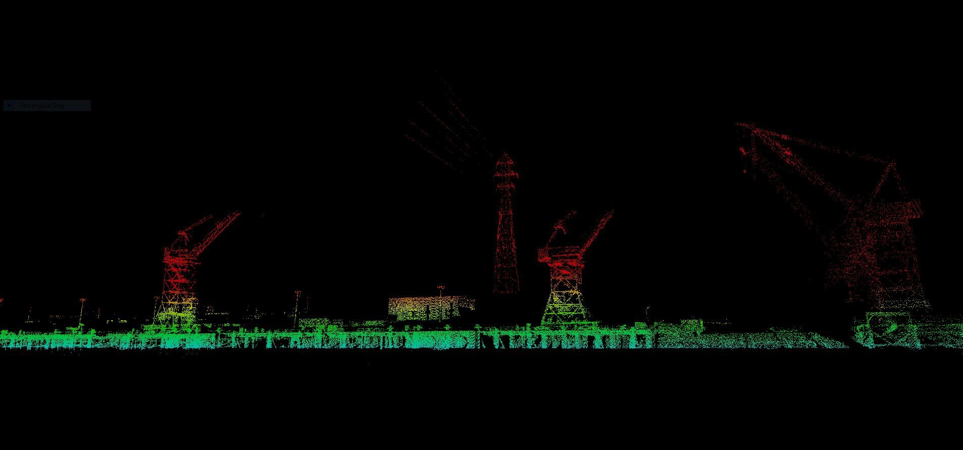
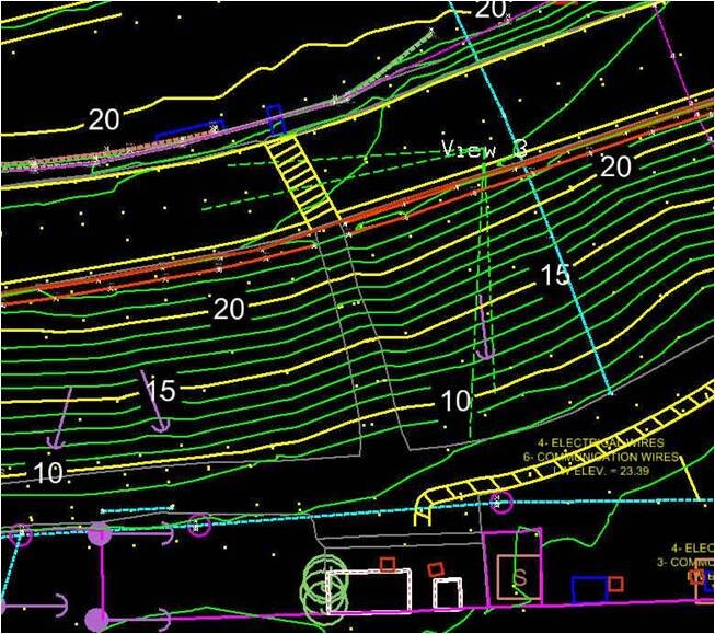
EMC established a static GPS Network from the existing and new control utilizing our Trimble R8 base stations. To verify our Static GPS, conventional 3rd order level runs were collected. The network baselines were processed, and the final horizontal and vertical control values were exported. EMC then collected the topographic data with Trimble GPS, Riegl VMX-450 Mobile LiDAR and Riegl VZ-400 Terrestrial Scanner systems. TBC software was used to process the RTK/GPS data, while Reigl software was used to post process the LiDAR datasets using GPS for control. The data was then taken into Microstation for extraction and mapping.
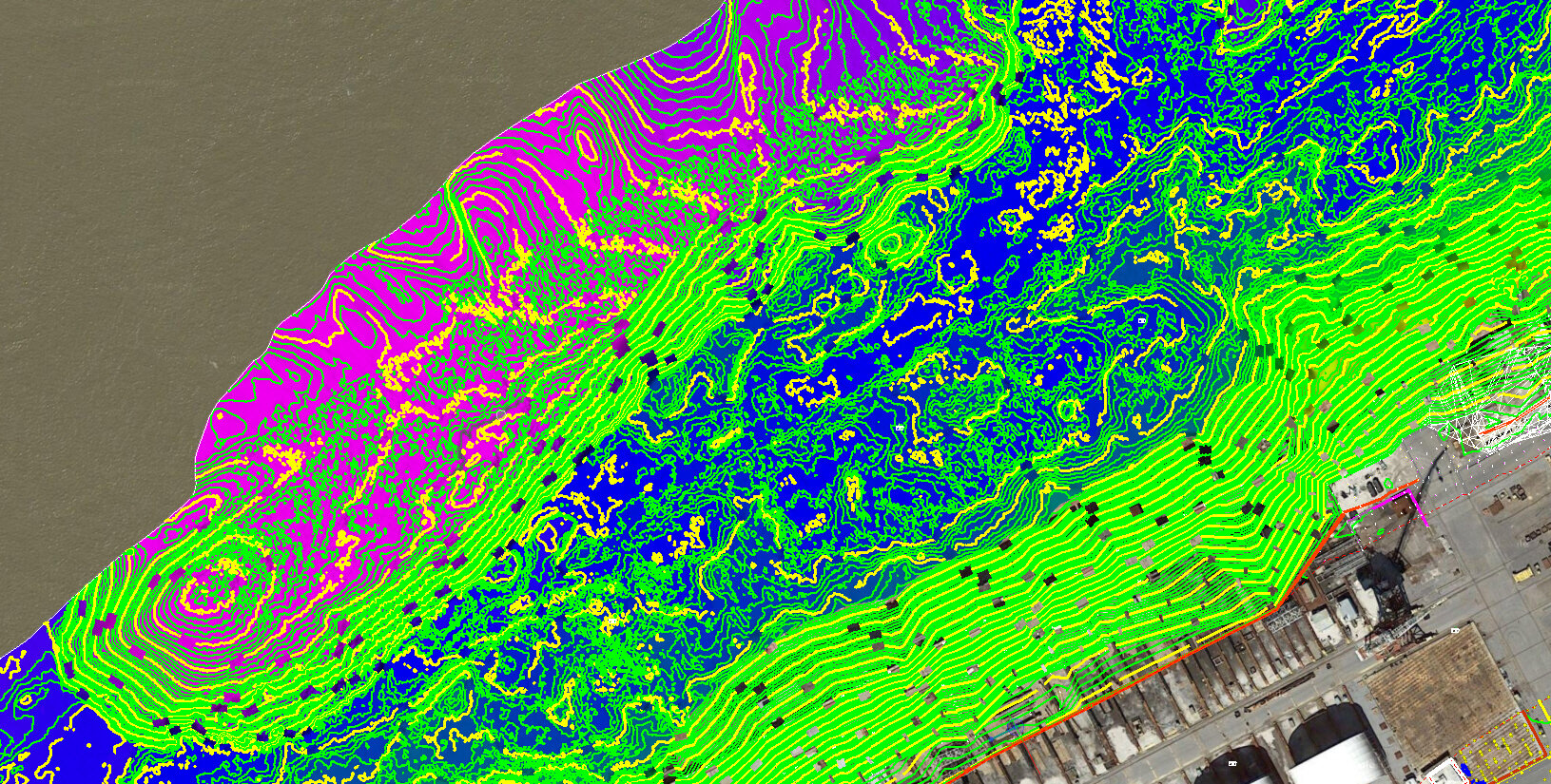
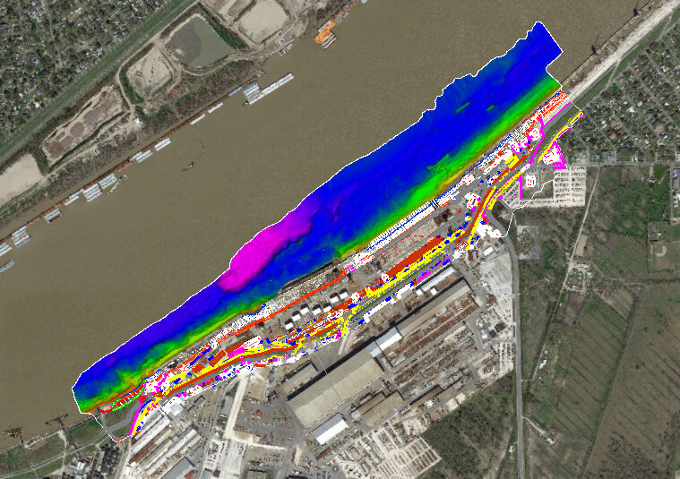
To map the river’s bottom and underneath the docks, EMC combined multibeam and mobile LiDAR technologies. Hydrographic survey data was collected with a Reson T-20P multibeam sonar system, along with an Applanix POS-MV positioning system. Riegl VMX-450 Mobile was also mounted to the vessel to collect data underneath the docks. Hypack software was used to process the multi-beam data and Reigl software was used to post process the LiDAR datasets. The edited multibeam and LiDAR data was combined in a Digital Terrain Model file (.dtm) with the topographic dataset.